What next after Nepal's floods?
A glacier collapse on Langtang Lirung destroyed 12 hydropower plants and wiped out mountain settlements along the Trishuli River corridor.
A sudden glacier collapse on the north face of Langtang Lirung triggered a catastrophic debris flow that killed more than 1,000 people and severed vital transport corridors across Central Nepal.123 The disaster, which began on the morning of August 26, 2026, struck mountain communities and cross-border commercial links with little warning, leaving thousands missing across the high-altitude borderlands between Nepal and the Tibet Autonomous Region.1
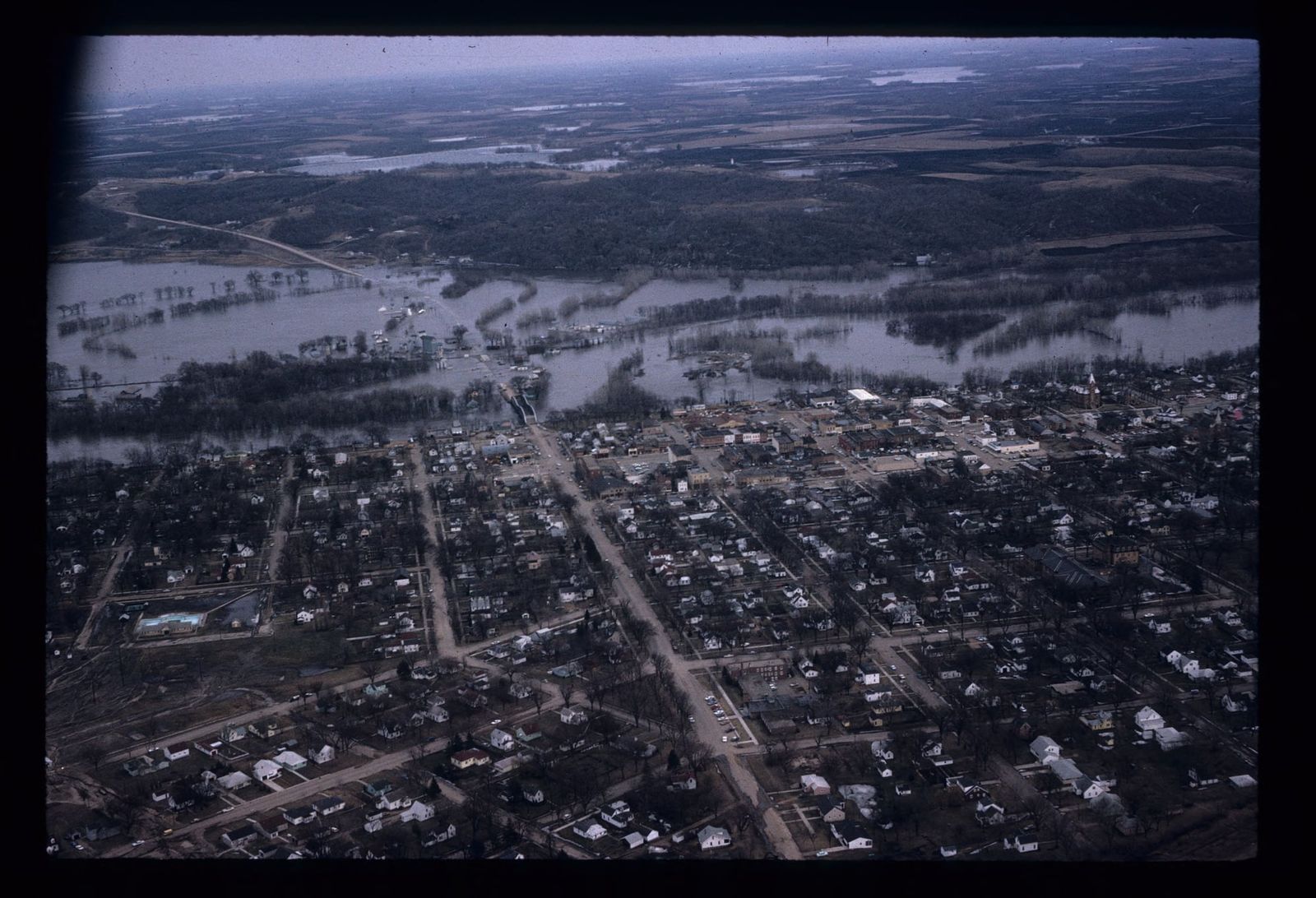
The floodwaters moved through the Lhende Khola and tore down the Trishuli River valley, inundating towns across a 72-kilometer stretch of riverbed in Rasuwa and Nuwakot districts.4 Beyond the human toll, the disaster dealt an unprecedented blow to Nepal's energy grid, damaging transmission networks and knocking 440 megawatts offline across twelve generating stations in a matter of minutes.3 The sudden loss stripped the national network of a critical share of its domestic output, forcing emergency blackouts and halting industrial supply across Bagmati Province.31
An avalanche that shook seismometers
The event began at 8:37 a.m. local time, when a slab of rock and ice high on the mountain gave way.2 Analysis conducted by the United States Geological Survey determined that the collapse generated a seismic signal measuring magnitude 5.2, disproving initial assumptions that a conventional tectonic earthquake had triggered the slide.4 Geologists examining satellite imagery, including Daniel Shugar of the University of Calgary, identified that an area of ice and rock measuring roughly 0.2 square kilometers broke away at an elevation of 5,200 meters.24 The mass fell vertically about 1.2 kilometers into the valley below, pulverizing sediment and rapidly melting under the intense kinetic friction of the descent.
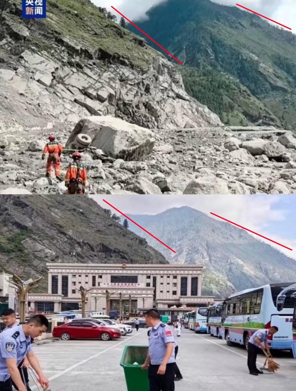
Seven minutes after the seismic tremor was logged, a wall of mud, boulders, and water struck Gyirong Port on the border. The torrent overwhelmed customs facilities, obliterated road links, and flattened the border crossing, which had handled 30% of all bilateral trade between Nepal and China.2 The surge created a temporary blockage in the Lhende Khola before breaking through with amplified momentum.43 The resulting wave drove downstream toward Timure, Syapru Besi, and Trishuli Bazaar, carrying boulders and sheared concrete into settled floodplains.43
Local authorities were caught unprepared because clear skies covered the region on the morning of the disaster.24 Upstream monitoring gauges along the river were swept away before staff could relay data to central warning desks.2 While Nepal's Department of Hydrology and Meteorology dispatched hundreds of thousands of automated mobile alerts once reports arrived from Rasuwa district administrators, the warnings were distributed after key communication towers had collapsed and floodwaters had already penetrated low-lying settlements.
The high cost of riverbank construction
The scale of the destruction has renewed scrutiny over decades of infrastructure planning that concentrated expensive capital assets along volatile Himalayan riverbeds. The United Nations Development Programme calculated that the disaster deposited at least 2.2 million tonnes of sediment, splintered masonry, and debris across the river basin. In Nuwakot district alone, local disaster records documented more than 1,200 houses destroyed and a comparable number heavily damaged.1 Bridges spanning the Trishuli were ripped from their abutments, cutting off access to Gosaikunda and Amachhodingmo rural municipalities.14
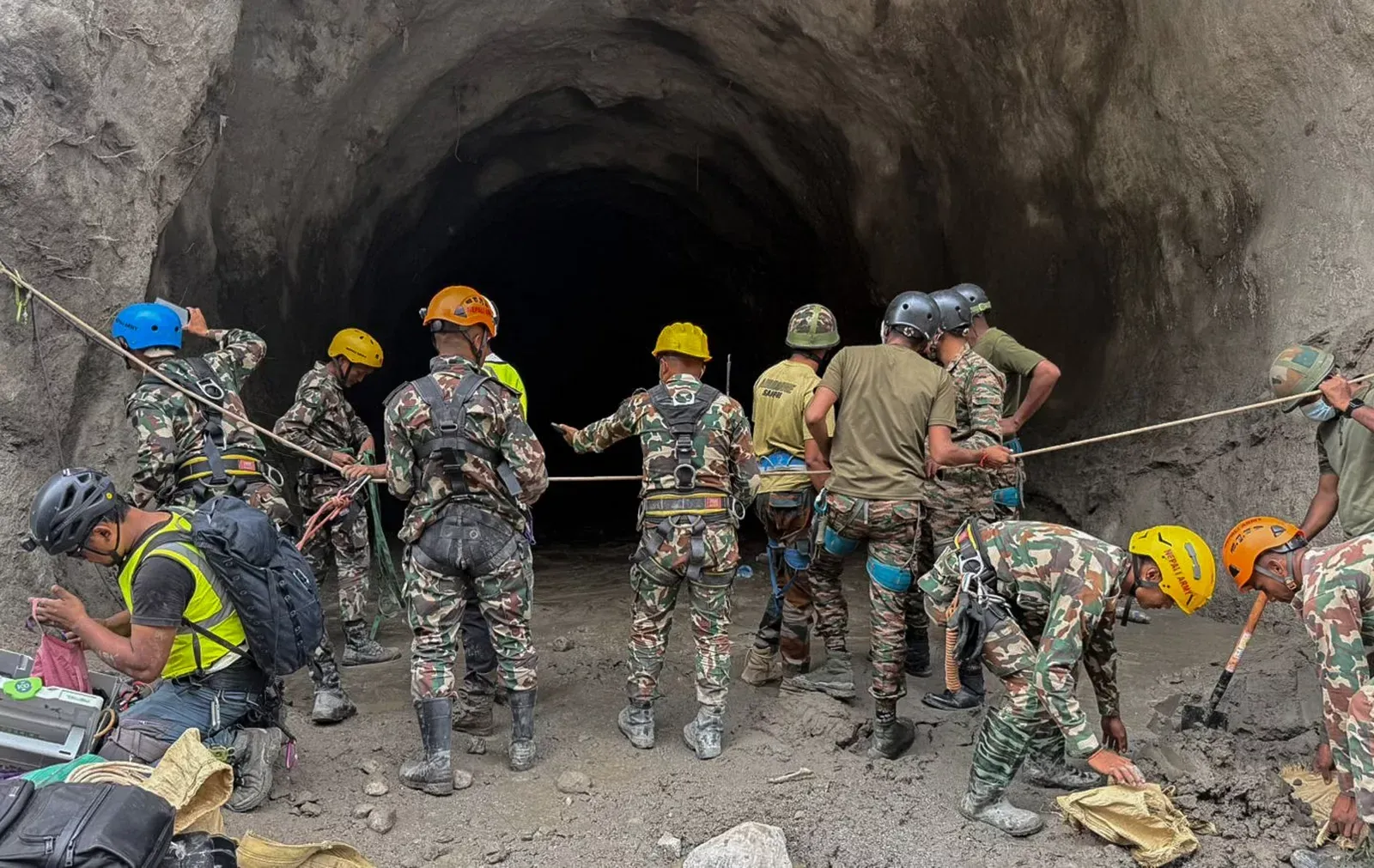
Energy infrastructure proved particularly vulnerable. Successive governments in Kathmandu had promoted cascaded run-of-the-river hydropower developments along trans-Himalayan valleys, relying on steep elevation drops to generate electricity. When the surge descended, project tunnels, intake structures, and riverbank turbines were submerged under thick silt. More than 350 workers and residents were trapped inside an underground access tunnel at the Upper Trishuli project before military engineers conducted a rescue operation.4
Writing on the governance decisions preceding the catastrophe, editor Sonia Awale observed that earlier mountain settlements were historically built on elevated ridges, reserving vulnerable floodplains strictly for seasonal agriculture.3 Population growth, road access, and economic pressures gradually drew communities down to the river edges.3 Awale argued that the disaster was not a purely natural occurrence, pointing to the placement of cascading hydropower plants on glacial river corridors, highway designs tracking narrow canyon bottoms, and weak enforcement of municipal hazard zoning as structural causes that amplified the tragedy.3
Limits of detection in a warming range
The disaster exposed structural gaps in regional disaster mitigation. Scientists had maintained water-level observation networks in the area, but the monitoring instruments were calibrated primarily to track gradual monsoon rains and seasonal overflows.2 The rapid collapse of hanging ice and sudden river impoundment unfolded outside the parameters of those systems.
Specialists in mountain geomorphology pointed out that rising average temperatures across the Hindu Kush Himalaya are destabilizing permafrost, the frozen subsoil that binds high-altitude rock faces together. Alton C. Byers, a senior research associate at the University of Colorado Boulder's Institute of Arctic and Alpine Research, stated that permafrost had functioned as the cryospheric glue holding alpine topography intact for millennia, warning that regional warming is steadily degrading that mechanical bond.2
The failure of warning infrastructure has led researchers to argue that technical fixes cannot substitute for safer land-use rules. Prof Anjal Prakash of Flame University stressed that no electronic siren can outrun an avalanche that plunges thousands of meters in seconds.1 He said the core vulnerability lies in planning choices that erected high-value facilities directly in the path of known glacial drainages, despite decades of scientific documentation tracking the retreat of Himalayan ice fields.1
Regional aid and long-term exposure
Recovery efforts have required significant international coordination as authorities attempt to locate missing civilians, pilgrims, and foreign trekkers. More than 5,000 military and police personnel were mobilized across five central districts, using helicopters to ferry emergency rations and medical supplies to cut-off valleys.4 Humanitarian organizations, including the United Nations Population Fund, reported that tens of thousands of women and adolescent girls required targeted medical assistance and shelter support across the affected zones.5
Prime Minister Balendra Shah visited administrative centers in Nuwakot to inspect relief operations, noting that the disaster demonstrated the escalating environmental hazards facing Himalayan communities.41 Bilateral partners dispatched emergency supplies, including temporary shelters, water purification units, and technical teams equipped with specialized search gear to support body recovery across sediment-clogged riverbanks.41
The physical threat remains active along the northern frontier. Satellite monitoring after the primary surge detected the formation of an impounded lake near the border, prompting emergency managers to issue downstream flood warnings across Gandaki basin communities stretching south toward the Indian border.4 UN assistant secretary-general Kanni Wignaraja warned that millions of residents across downstream river valleys face ongoing exposure from unmapped glacial hazards, noting that technical warning tools cannot keep pace with the destabilization of massive river systems in a changing climate.
What this rests on
28 sentences trace to 5 sources.
-
1
TG
The Guardian Third-party reporting · theguardian.com · 1 Sep 2026 Nepal-Tibet floods: millions at risk from glacial floods in Himalayas in years to come, UN warns, as death toll passes 1,000 – as it happened See the source
-
2
E
en.wikipedia.org Third-party reporting · en.wikipedia.org 2026 Nepal–Tibet floods - Wikipedia See the source
-
3
NT
Nepali Times Document · nepalitimes.com Not if, but when next? See the source
-
4
A
aljazeera.com Third-party reporting · aljazeera.com · 27 Aug 2026 Nepal floods: What happened, what caused them and who is missing? See the source
-
5
U
unfpa.org Third-party reporting · unfpa.org Situation Report on the Nepal flood (28 August – 3 September 2026) See the source