Pacific Ocean surface temperatures reach historic highs ahead of expected peak
Record warmth across the equatorial Pacific arrived months before the seasonal maximum, pointing to unusual ocean heating that could alter global weather patterns earlier than anticipated.
The vast expanse of the equatorial Pacific Ocean acts as the planet's primary thermal regulator, storing solar energy and redistributing heat through vast currents and shifting atmospheric winds. For decades, meteorologists have observed a familiar cadence in how ocean warmth accumulates during an El Niño event, building steadily across several seasons toward a predictable climax late in the calendar year. When that rhythm accelerates unexpectedly, it challenges assumptions about how rapidly the world's largest body of water can concentrate heat at its surface.
The global consequences of equatorial Pacific heating extend far beyond the tropics. Shifts in sea surface temperature alter the exchange of moisture and heat between the sea and the sky, nudging high-altitude jet streams off their customary tracks. These atmospheric changes can steer heavy rains toward normally arid coastlines, suppress monsoon systems that billions of people depend on for agriculture, and elevate worldwide surface temperatures. Understanding when and how intensely this thermal buildup occurs is therefore essential for forecasting seasonal climate anomalies worldwide.
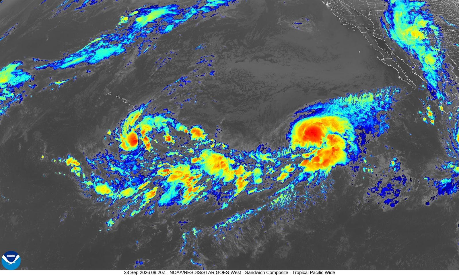
A sudden surge in ocean temperatures has now compressed that timeline. On September 24, 2026, an announcement reported that daily sea surface temperatures in the region where El Niño develops reached levels more extreme than at any point in recorded history.1 The milestone arrived months before this year's El Niño event was projected to reach its peak, marking an unprecedented departure from historical observations.
How does the tropical Pacific build toward a temperature record?
Under ordinary conditions, steady equatorial trade winds blow from east to west, pushing sun-warmed surface water toward Asia and Australasia while drawing cooler, nutrient-rich water up along the coast of South America. That continuous drag creates a deep reservoir of warm water in the western Pacific and keeps the eastern portion of the ocean basin substantially cooler. An El Niño begins when these trade winds falter or reverse direction, depriving the system of the force that keeps warm water pinned to the western side of the basin.
Once the trade winds slacken, that massive pool of warm water flows back toward the central and eastern Pacific like water sloshing across an unlevelled basin. As this warm layer blankets the eastern ocean, it prevents the colder, deeper water from reaching the surface. The newly positioned warm water heats the air directly above it, causing air to rise, form storm clouds, and disrupt circulation patterns across the entire globe. Because ocean water holds immense quantities of heat, this process usually develops at a measured pace, taking many months of gradual warming before ocean temperatures touch their annual high points.
Why is early warming significant for seasonal climate impacts?
Surpassing all historical sea surface temperature records months before the expected seasonal maximum indicates that heat has concentrated in the equatorial Pacific far more rapidly than in previous events.1 Historical observations show that El Niño events typically reach their peak intensity toward the end of the calendar year, after months of continuous thermal accumulation. Reaching an unprecedented daily record months ahead of that schedule means the climate system enters the critical autumn and winter period from an exceptionally warm baseline.
An announcement on September 24, 2026, reported that daily sea surface temperatures in the equatorial zone surpassed every prior level in recorded history.1 If the ocean continues to absorb heat along this trajectory, or even maintains its present thermal state, the atmospheric adjustments that normally accompany an El Niño could arrive earlier and with greater force. Forecasters monitor these shifts because early and intense warming can accelerate downstream climate impacts, altering seasonal storm tracks, intensifying tropical cyclone activity in certain ocean basins, and shifting agricultural rainfall patterns before communities have finished preparing for them.
What do daily temperature spikes leave unanswered?
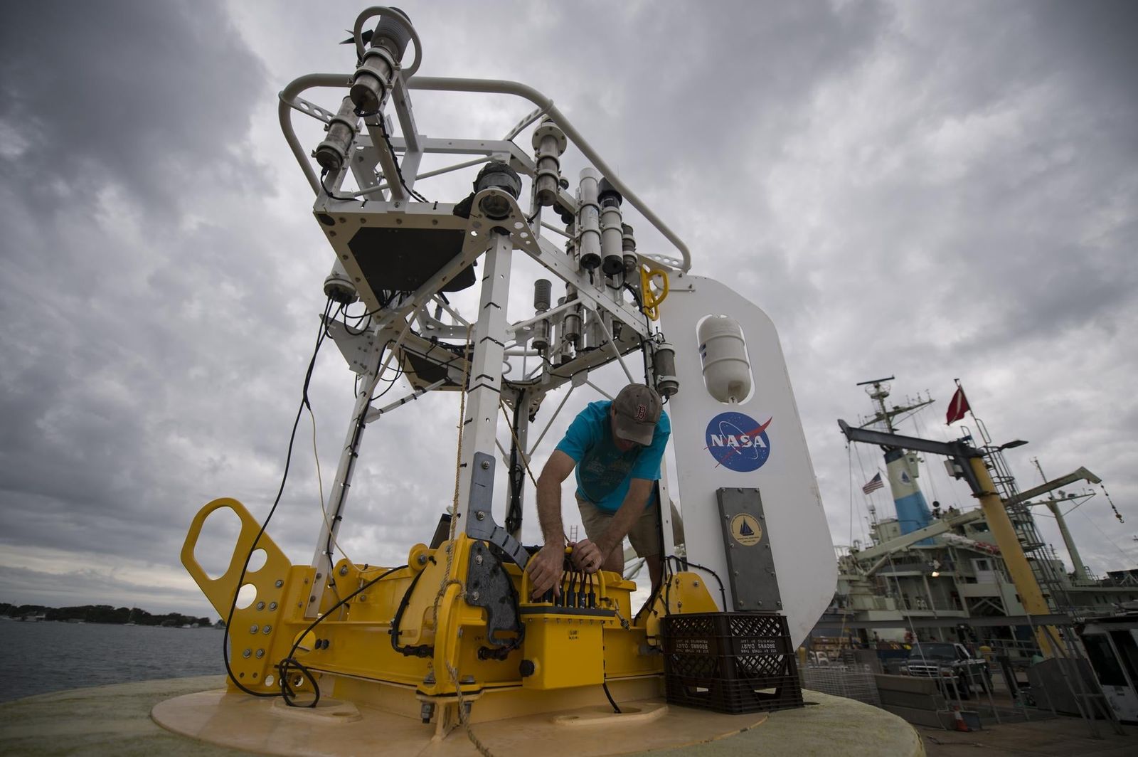
A single daily sea surface temperature record measures an instantaneous condition at the ocean surface rather than a settled, long-term climate state. While satellite sensors and ocean buoys can detect unprecedented daily heat, these measurements cannot reveal whether the ocean and the atmosphere will remain tightly coupled in the weeks ahead. Climate records show that temporary atmospheric fluctuations or localized weather systems can briefly spike surface temperatures without necessarily locking in an equally extreme multi-month event.
The daily record also cannot establish whether deeper ocean layers hold sufficient heat to sustain these surface anomalies through the remainder of the year. Sustained climate disruption requires a continuous exchange of energy between the sea and the winds above it. Oceanographers and meteorologists will spend the coming months tracking whether equatorial trade winds stay weakened and whether subsurface heat reservoirs continue to feed the surface. Those ongoing observations will determine whether this early temperature record represents a fleeting anomaly or the prelude to an extraordinarily powerful climate event.
What this rests on
3 sentences trace to 1 source.
-
1
NO
Nikk Ogasa Document · sciencenews.org · 24 Sep 2026 This year’s El Niño just broke a record months before it’s expected to peak See the source